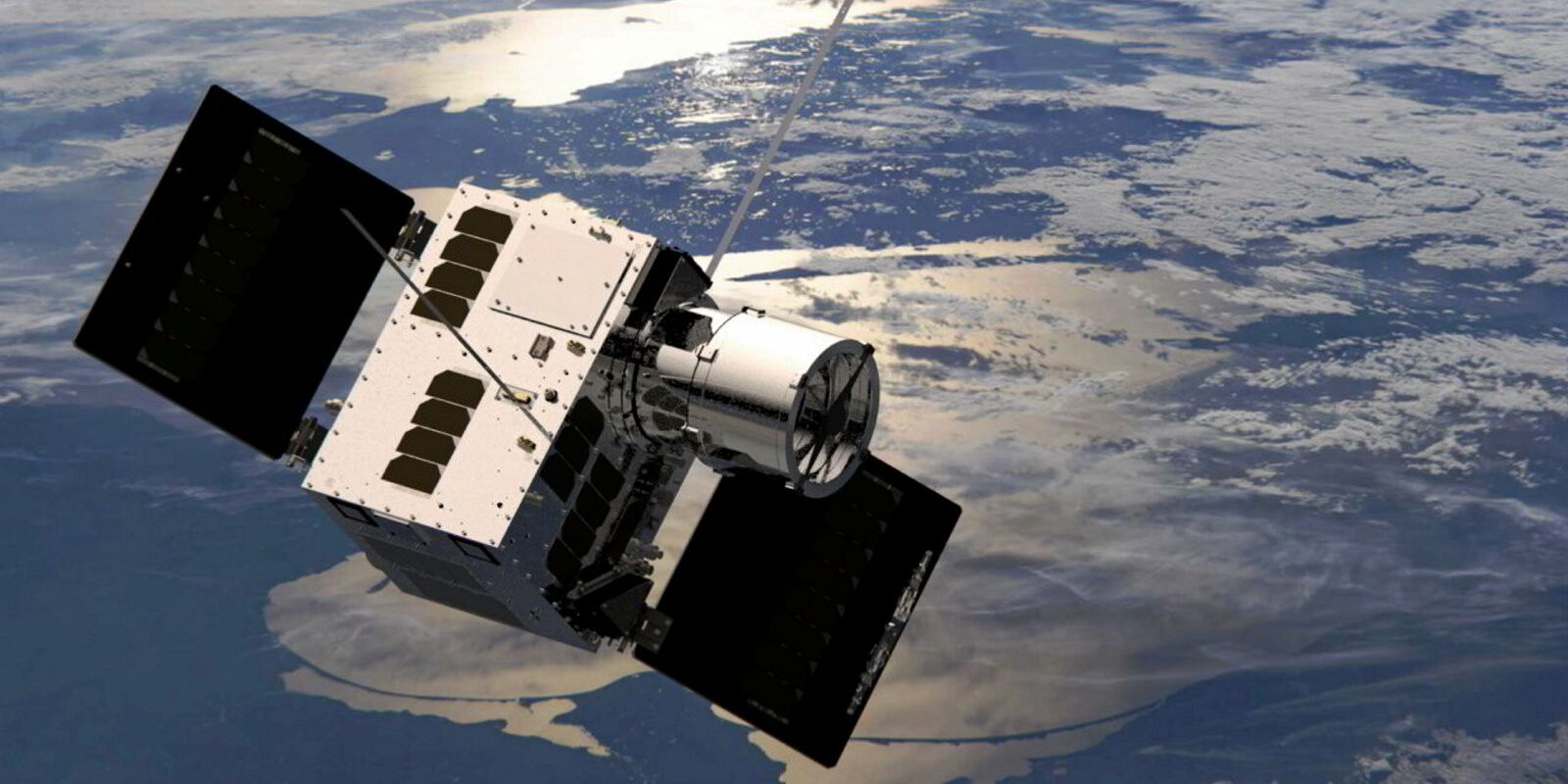
Norway has launched a new satellite to test a new low-light imaging system as well as receive ship position signals.
NorSat-4 was launched this week on a SpaceX rocket from Vandenberg Space Force Base in California, US. The micro-satellite will monitor maritime traffic in Norway’s Arctic waters.
It joins three other satellites launched by the Norwegian Space Agency to monitor shipping by picking up AIS signals.
These are microsatellites, weighing only 35 kilograms and about the size of a small fridge.
This fourth unit also has a new prototype low-light camera and will trial a new encryption solution.
The low-light camera can detect vessels of over 30 metres in length, even during periods of darkness, such as the lengthy permanent darkness of the Arctic winters.
The encryption system will ensure secure telemetry and the transmission of commands and data.
The Norwegian Coastal Administration owns and operates Norway’s AIS system and is responsible for securing its waters.
“This satellite reinforces Norway’s ability to monitor activities in our maritime areas,” said Einar Vik Arset, NCA coastal director.
“This is of particular significance in today’s geopolitical climate. NorSat-4 is an important addition to our technical infrastructure.”
The satellite, like other satellites of the Norwegian Space Agency, will be linked to a control centre outside Oslo.
NorSat-4 will operate in a polar orbit at an altitude of 590 km. Its launch was on a payload along with three other Arctic surveillance satellites for Defence Research and Development Canada.
They have all been built by Canada’s Space Flight Laboratory, a company specialising in the design, production and launch of modern low-cost small satellites. (Copyright)


